
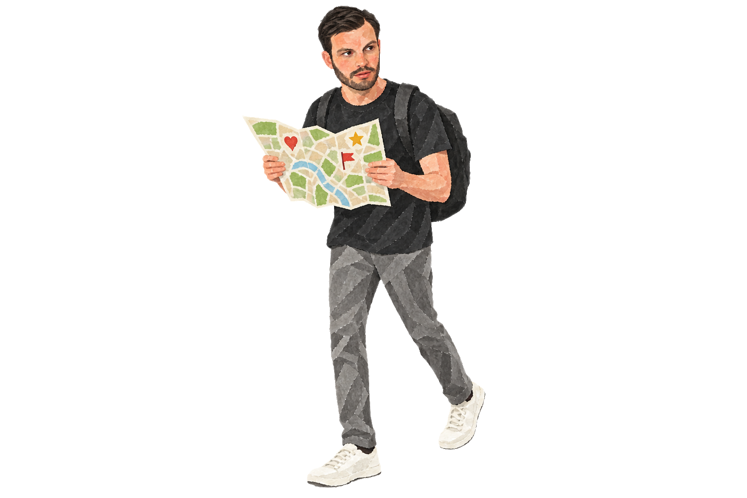
Google Maps is one of my favorite travel tools. Because I work online while traveling around, I arrive in a new city every few months. The app helps me decide where to go and understand how places fit together.
I use its three kinds of saved places like this:
- Stars for places I have visited;
- Flags for places I want to visit;
- Hearts for places where friends live.
It is a simple system, but that is why it works.
At a glance, I can see which parts of a city I have not explored. When I save a new place, I often notice another pin nearby. Over time, the map helps me understand how streets, squares, and neighborhoods connect.
Here is what my map of Barcelona looked like at the time: